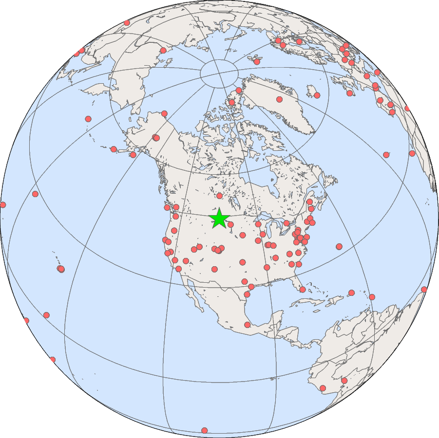
The Fort Peck, Montana station is located on the Fort Peck
Tribes Reservation, approximately fifteen miles north of Poplar, Montana.
| Fort Peck, Montana |
|---|
| Latitude: | 48.30783 degrees North |
| Longitude: | 105.10170 degrees West |
| Elevation: | 634 meters |
| Time Zone: | Local Time + 7 hours = UTC |
| Installed: | November 1994 |
| SURFRAD data from the Fort Peck site. |
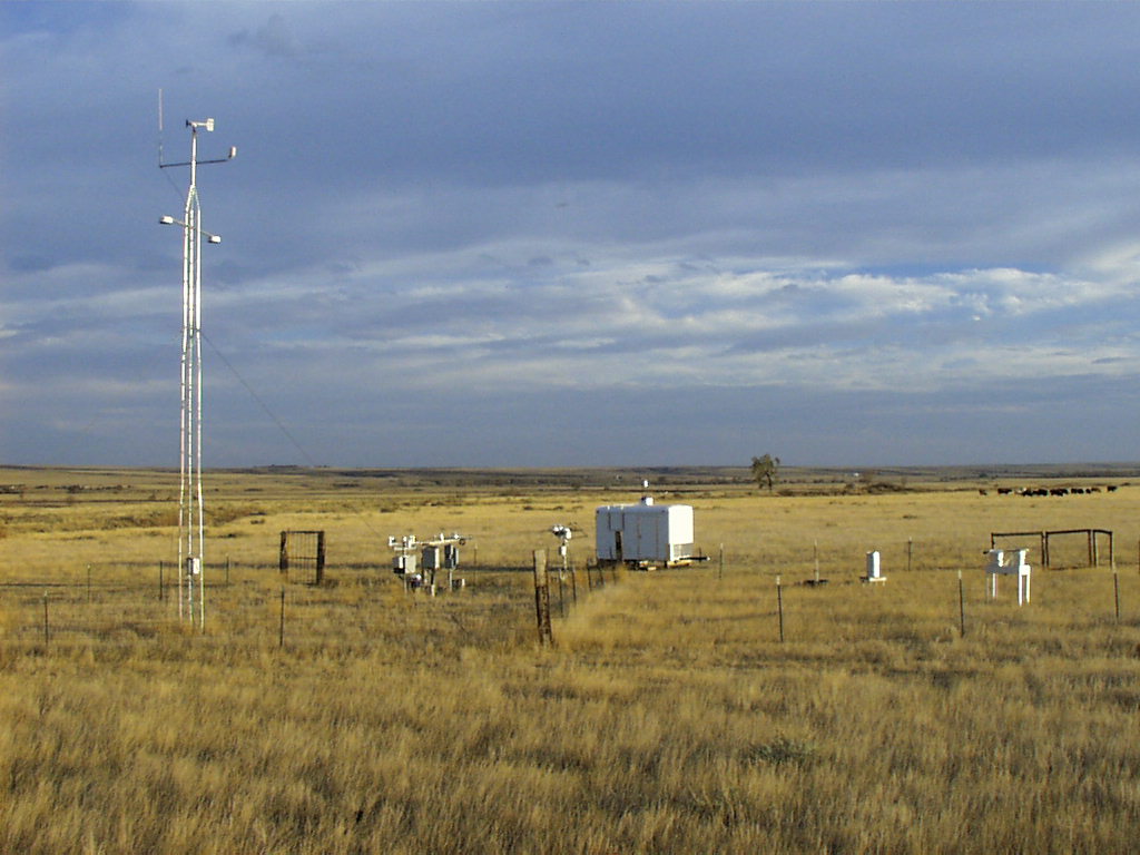
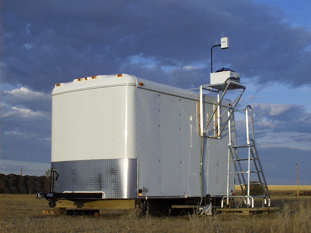
A report on the modified trailer housing used at this site is available:
The tower, radiometer platform, tracker and Total Sky Imager trailer at Fort Peck SURFRAD
station, October, 2000.
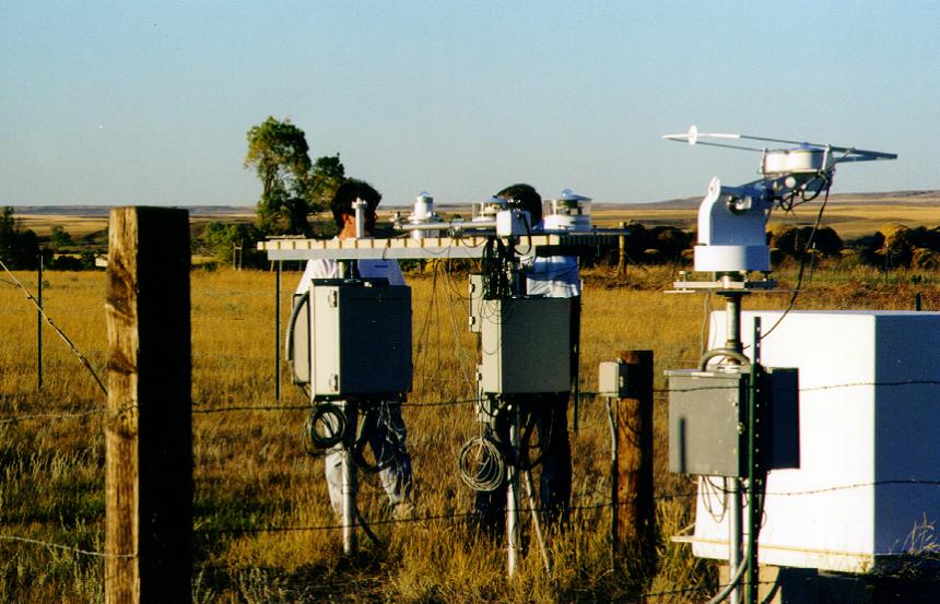
Stan Wilkison and Dave Anderson discuss maintenance of the radiometer
platform and old solar tracker, September, 1999.
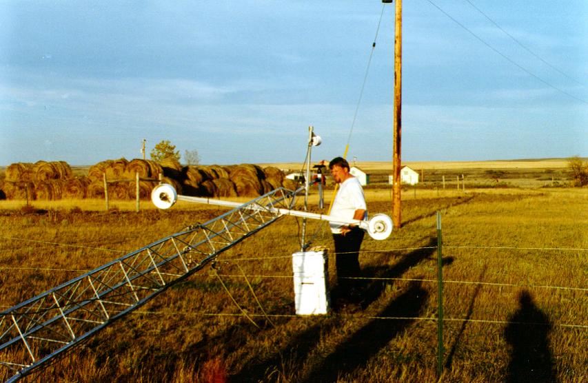
Dave Theisen tending to the upwelling radiometers during the
annual maintenance at the Fort Peck station, October 1996.
The Sci-Tek 2AP solar tracker with shading mechanism, Spectrosun pyranometer,
Eppley pyrgeometer,
and Eppley Normal Incidence Pyrheliometer.
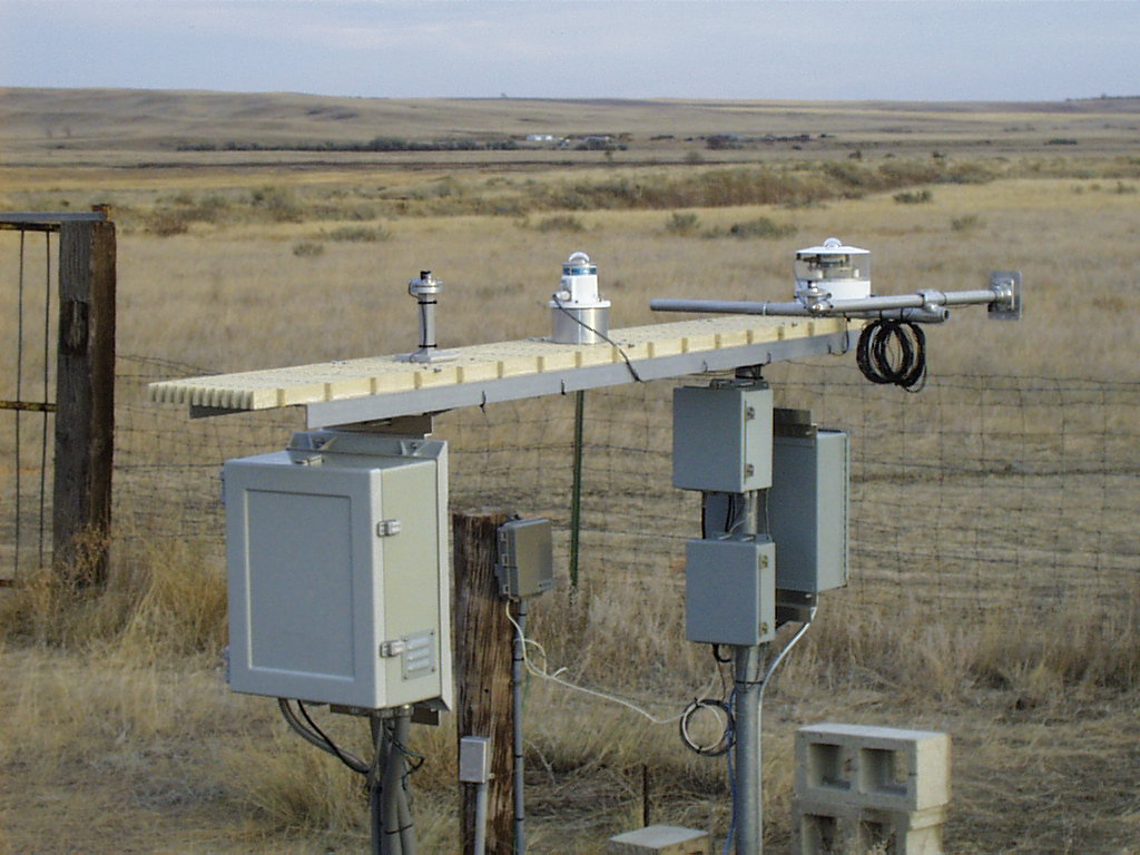
The radiometer platform with (left
to right) LI-COR Quantum sensor (for photosynthetically active radiation),
ventilated Spectrosun pyranometer,
Yankee Environmental Systems UVB-1 Ultraviolet Pyranometer, and ventilated Spectrosun pyranometer.
The Yankee Environmental Systems Total Sky Imager (TSI), mounted on the
new site trailer. The trailer, installed in October of 2000, houses
the uninterruptible power supply (UPS) and TSI computer.
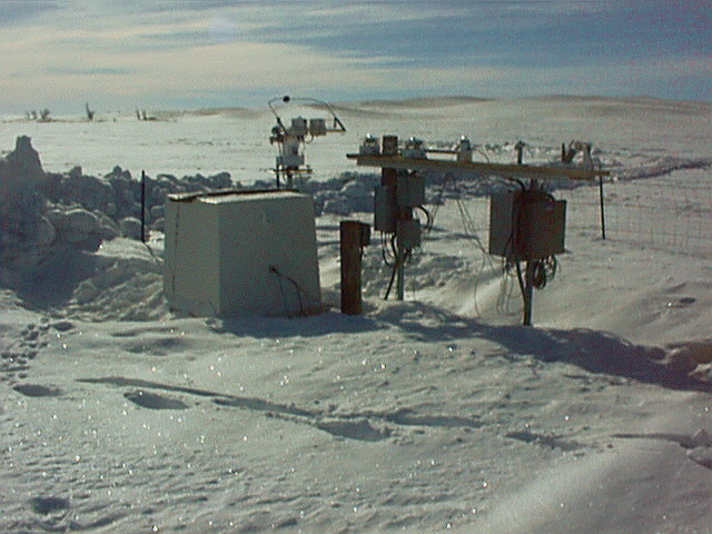
The Fort Peck station on a clear winter day, January, 1999. Photo
courtesy of Dave Anderson.